One of the most beautiful and also the highest mountains in Croatia. Follow our autumn steps to Mount Dinara, also known as Sinjal, which rises to a height of 1,831 meters. This stunning mountain is located in the Dinaric Alps, stretching along the border between Croatia and Bosnia and Herzegovina. The ascent is not entirely free of effort, but it’s not overly challenging either.
The Journey under the Mount Dinara
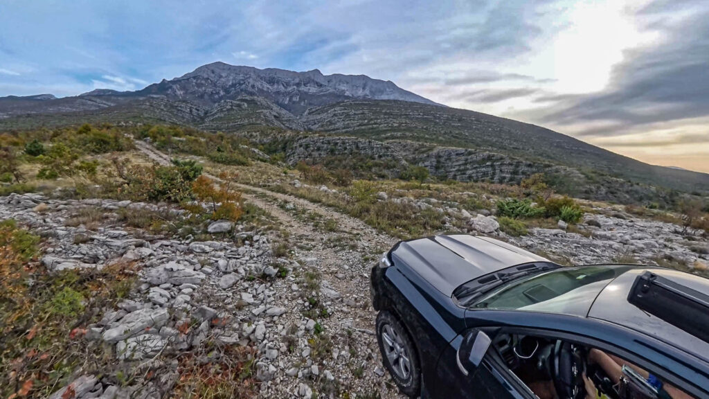
Several routes lead to the Mount Dinara also known as Sinjal (1831 m) from different sides of the mountain range. We chose the route from the southwestern face, which is considered the shortest and easiest. This starting point is only 10 km away from the larger town of Knin. Camping under the mountain is easy on the plains without the risk of being noticed, and we opted for this option as well. In October, the nights are already quite chilly, but the rooftop tent offers a decent level of comfort.
In the morning, we woke up around seven and start looking for a path to any parking lot near the mountain. Unfortunately, we don’t find an easy one, but the off-road adventure is enjoyable at first. It’s fun until we begin pushing through bushes and hear the scraping sound of branches against our car’s paint. We turn back and take another route, which eventually leads us to a hiking trail to Dinara. Here, we park in a rather lovely and secluded spot. Later, from the drone’s view, we see a wide dirt road ending in a parking lot, but unfortunately, we had missed it.
Ascent Through the Forest to the Zlatko Prgin Mountain Hut
The first stage of the hike mostly winds through a deciduous forest with easy sections over rocky terrain. The initial part of the trail is relatively straightforward, lacking views and frankly quite dull. Later on, the path begins to climb steeply and often transitions into rocky scree fields. In October, the weather is very pleasant, with temperatures around 20°C. I wouldn’t recommend climbing this mountain in summer. We’ve been here in July before and didn’t dare attempt the ascent in the intense heat.
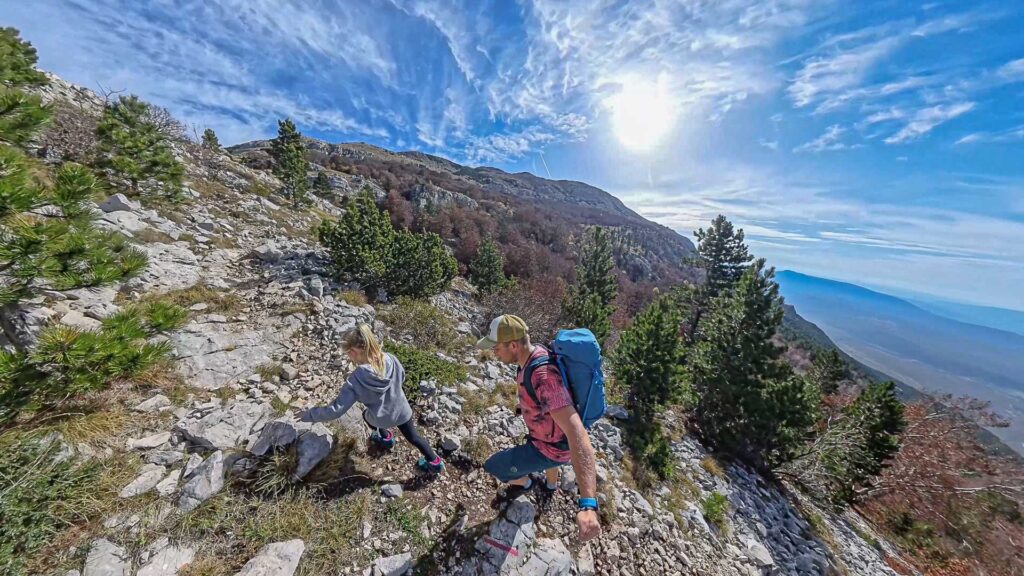
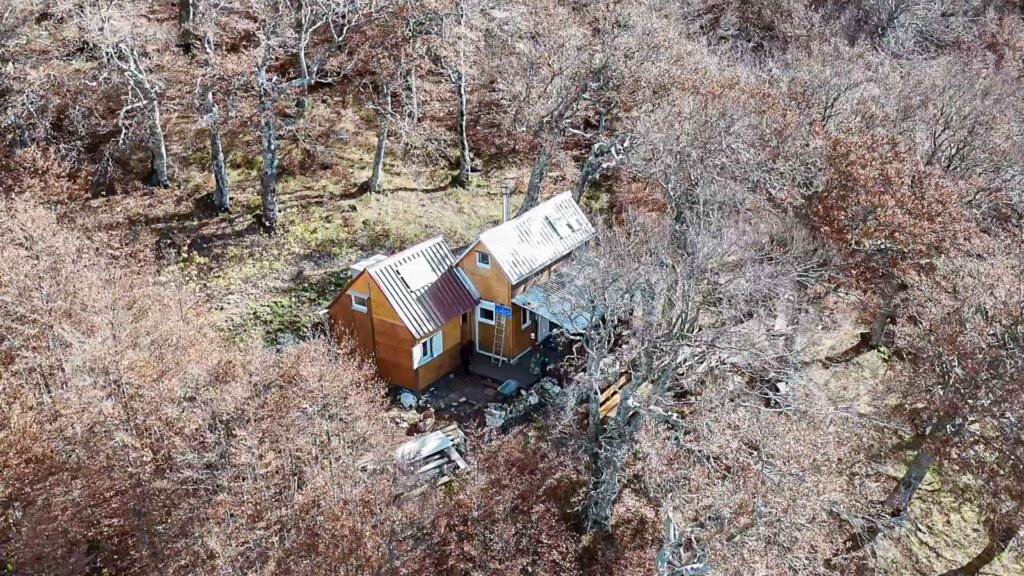
Soon, we escaped from the forest, and the views begin to open up, making the journey to Mount Dinara much more interesting. The views of the landscape are breathtaking! After about 800 meters of elevation gain and 5 kilometers, we reach the Zlatko Prgin mountain hut. Here, a group of mountaineers is just preparing a large feast. Meat, vegetables, bread… It’s a pitty we have to continue. We also find out that skiing isn’t done here even in winter. A pity, as the local mountains would provide excellent terrain.
From shelter Zlatko Prgin to the Summit of Dinara
As soon as we get on the path above the hut, we walk along a steep, exposed trail over rocks with beautiful views. Shortly after, about 300 meters of elevation gain, we reach the ridge. From here, the summit of Mount Dinara is already visible. The trail along the ridge is rewarding, offering views in all directions and across all the valleys. We can overlook the entire Dinaric Alps and even see into Bosnia and Herzegovina.
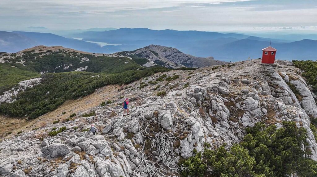
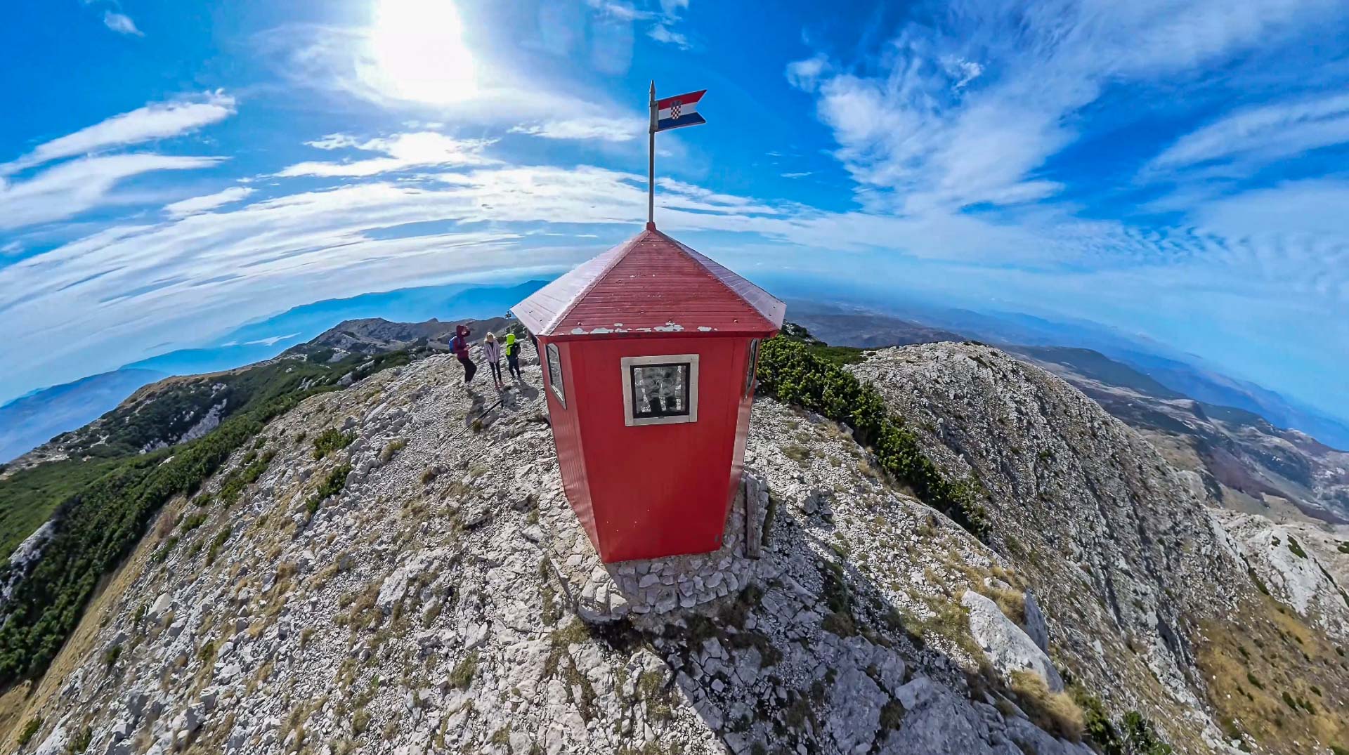
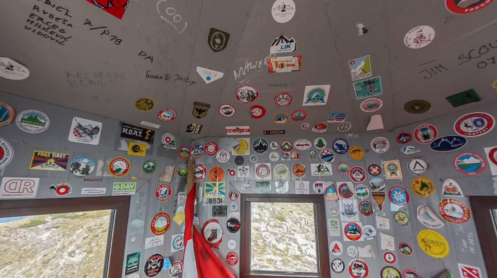
Soon, we reach the summit of Mount Dinara at an altitude of 1,831 meters above sea level. The summit of Dinara is divided into two parts. On one peak stands a tall iron cross, and on the other is a red metal hut. The hut would barely serve as an emergency shelter, but one, maybe two people, could fit on the cold concrete floor. On top of the dome-shaped hut flies the Croatian flag. The interior of the hut is covered with all kinds of stickers, and there is also a visitor’s book where stories and successful ascents are recorded.
Thw way back from the Dinara summit to the valley
At the summit, we fortunately encounter only a handful of visitors, making this trip very enjoyable. After a break at the top, enjoying the views, we choose a slightly different but more free-ride path back down to the valley. After a grueling 14 km and over 1,000 meters of elevation gain, we finally, utterly exhausted, reach the car.
Leave a reply