Serra da Estrela, the perfect hideout from summer heat and tourist crowds exploring the coast and popular historic cities in Portugal. For adventurous souls this National park is hiding plenty of gems to explore in silence and solitude. Mountais of stars are packed with glacial valleys, deep ravines, also cold mountain streams and deep blue lakes.
Serra da Estrela means literaly a „Mountains of Stars“ is a natural park located in central Portugal between towns Guarda and Viseu over 50 kilometers long and 20 kilometers wide with area of 1010 km². The mountain range is a high alpine valley without trees, deep valley and is also a starting point for some of the country´s most important rivers Mondego and Zêzere. Also is a highest mountain range with the highest peak Torre (1993 m) of Portugeese mainland.
There are over 400 kilometers of marked hiking trail and uncountable length of unmarked trails which makes the area very attractive for all hikers. You can find also a huge network of trails for mountain bikers, runners or any adventure seekers. Because of it´s abundancy of boulders almost everywhere on the high platteaus the area is very popular for bouldering. Thanks to granite composition there are planty of climbing routes. The most spectacular climbing route leads from the vallee des glaciares Cantaro Magro (1928m). For winter lovers there is an only skiing centre in Portugal on The Torre mountain with couple of lifts with either natural or artificial snow.
Torre mountain (1993 m)
Portugeese highest peak in mainland with height 1993 m.a.s.l. is definately a place to visit while You are hiking in Serra da Estrela. Unfortunately there is nothing spectacular and rewarding while I came here. Because of the wide high-quality road which leads to the top the mountain itself is accessible by any motorised vehicle. That fact makes the peak less attractive and more visited. Personally I dont like this, but at least the road from both side is very enjoyable for enthusiast drivers.
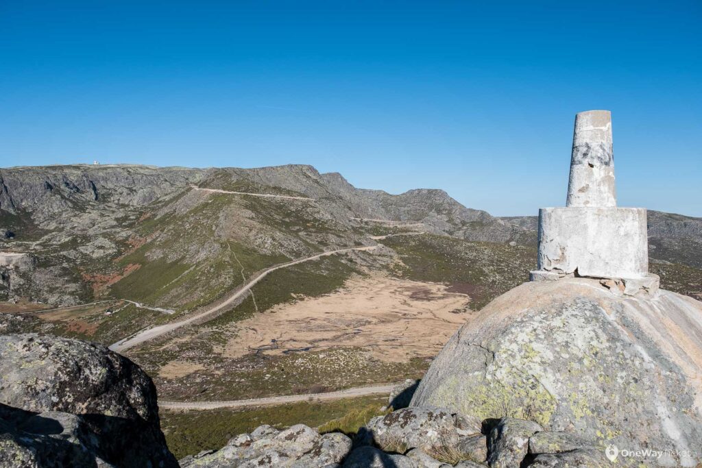
The peak is home for Portugees only skiing centre in the country and it´s not a joke even I was laughing while being there. At the end of January I had lovely 15 °C as well as bright sky and I´v seen only a tiny patch of snow. Even building a snowman was a problem. What I can recommend is buying a local made cheese on the top of the peak which is delicious.
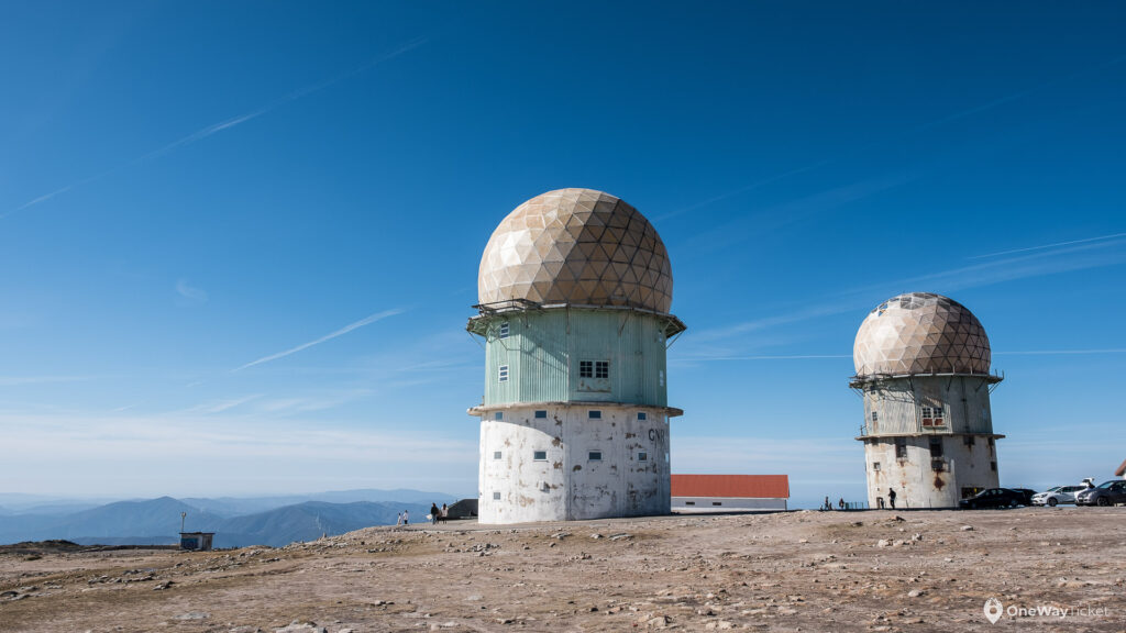
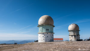
The peak itself has not-so steep slopes, so it´s easy to climb from every direction. I can recommend to climb from northern slope around lakes Lagoa do Serrano and Lagoa do Covap de Quelhas. Than follow the skiing slopes up to the peak the Torre. Enjoy the views where during a bright day You can see as far to the coast line. The summit is decorated by obelisk and ugly old observatory.
Cantaro Magro (1928 m)
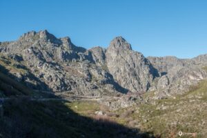
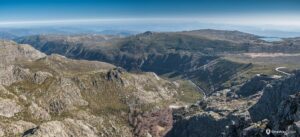
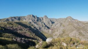
Probably the most spectacular and iconic mountain of Serra da Estrela. You woll get the best views of the peak from valle des galciares from Covao d´Ametade where the important river Zêzere starts as well as very famous climbing route. If You are professional enough you can attempt, but the eastern face of the mountain is considered as the most difficult climbing route in Serra da Estrella. Please study some climbing guides and prepare for the stearnous real climb.
For those who still want to climb Cantaro Magrowithout climbing experience, tons of material like harness, ropes, friends and carabines I have much more easier alternative. Drive the road towards The Torre peak and stop on a small parking lot just under the summit of Cantaro Magro. Even from here the peak look really inacessible and despite it´s not easy walk it´s possible.
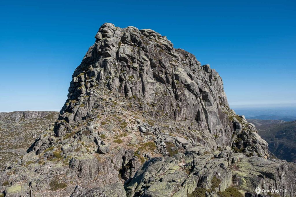
Go down from the road to the pass undter the peak and then follow closely the narrow unobvious path between the wall and the edge of the cliff on the right side of the mountain. Be very cautious and use both hands to hold Yourself as there is the cliff You´ve seen from the valley of Glaciers which You do not want to fall. I don´t really recommend to go this path with kids. After some time You will see steep stairs which you have to ascent. After passing the section of stairs You have to turn left almost 180° and follow the narrow rocky culoir leading to the top. Also this section is not the safest, but You have at least good holding points and some more space.
Take a deep breath and go to the edge towards the glacial walley and look down. Nice height isn´t it? If You look deep enough you may also see a car fallen down from the road You were just driving. Enjoy again spectacular 360° view around the Serra da Estrella before returning the same way back.
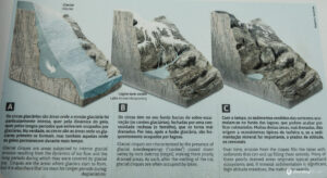
There is also a nice and easy hike starting from Covao d´Ametade into the velley to another two glacial lakes upstream the Rio Zêzere. You will not only experience stepping on the glacial bed which was flowing here many thousands year ago, but You will also enjoy spectacular views of the Eastern face of Cantaro Magro (1928 m). Here in the upper part of the valley the famous Portugees river Rio Zêzere is starting it´s journey. You have the chance to follow it to it´s inception.
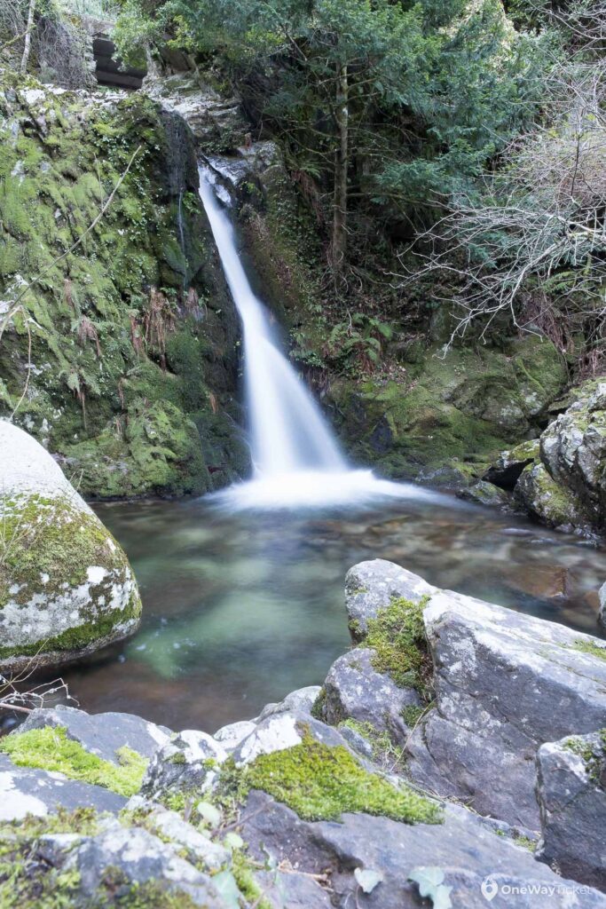
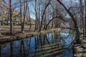
The start of the trail is from the parking on the hairpin in valley of Galciers. You will recognize the place by only birch trees in the area. It´s adviceable to spend some time enojying the reflection of bending trees above the stream of Rio Zêzere. Continue upstream the valley and you will find another two small glacial lakes. It´s very pleasant and easy hike with really nice views of surrounding mountains.
Alto da Pedrice (1758 m)
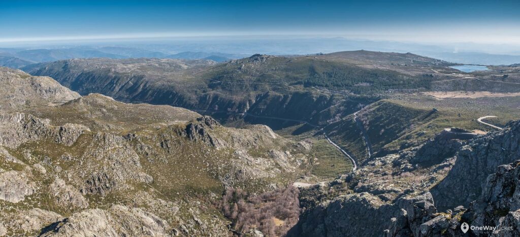
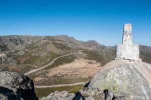
It´s a perfect place to see entire altiplano of Serra da Estrela as well as the highest peak Torre. Also You have a chance to see near by lake Lago do Viriato and entire long and wild south valley. You will recognize the peak from far distance as it has a white obelisk on the top of the rock at the summit.
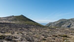
The best place to start a hike is from the prking lot at the junction of roads comming from Manteigas and Covilha. The climb itself is relatively easy and nothing to worry about. In the beginning You will walk on the gravel road, but very early you will turn left to steep rocky path leading you to the top. As long as You will reach the peak enjoy all the solitude and distant views to the nature. I personally like this peak as it´s quite sharp and allows You to see the entire surrounding from one spot.
Poios Brancos (1704 m)
Despite this is more a altiplanic highest point I have to list it here because it´s definately unique place to visit. If You are wishing to see the isonic face of Cantaro Magro or the highest peak Torre as well as the deep views to the valley of galiers this peak is for You.
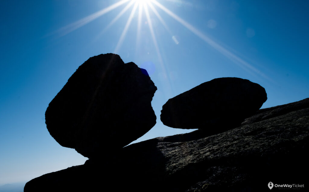
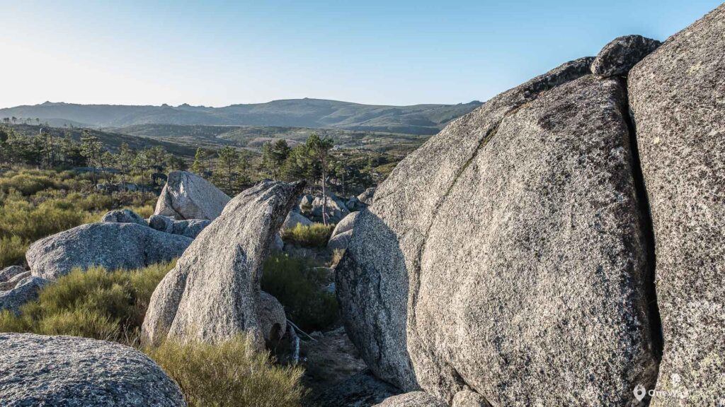
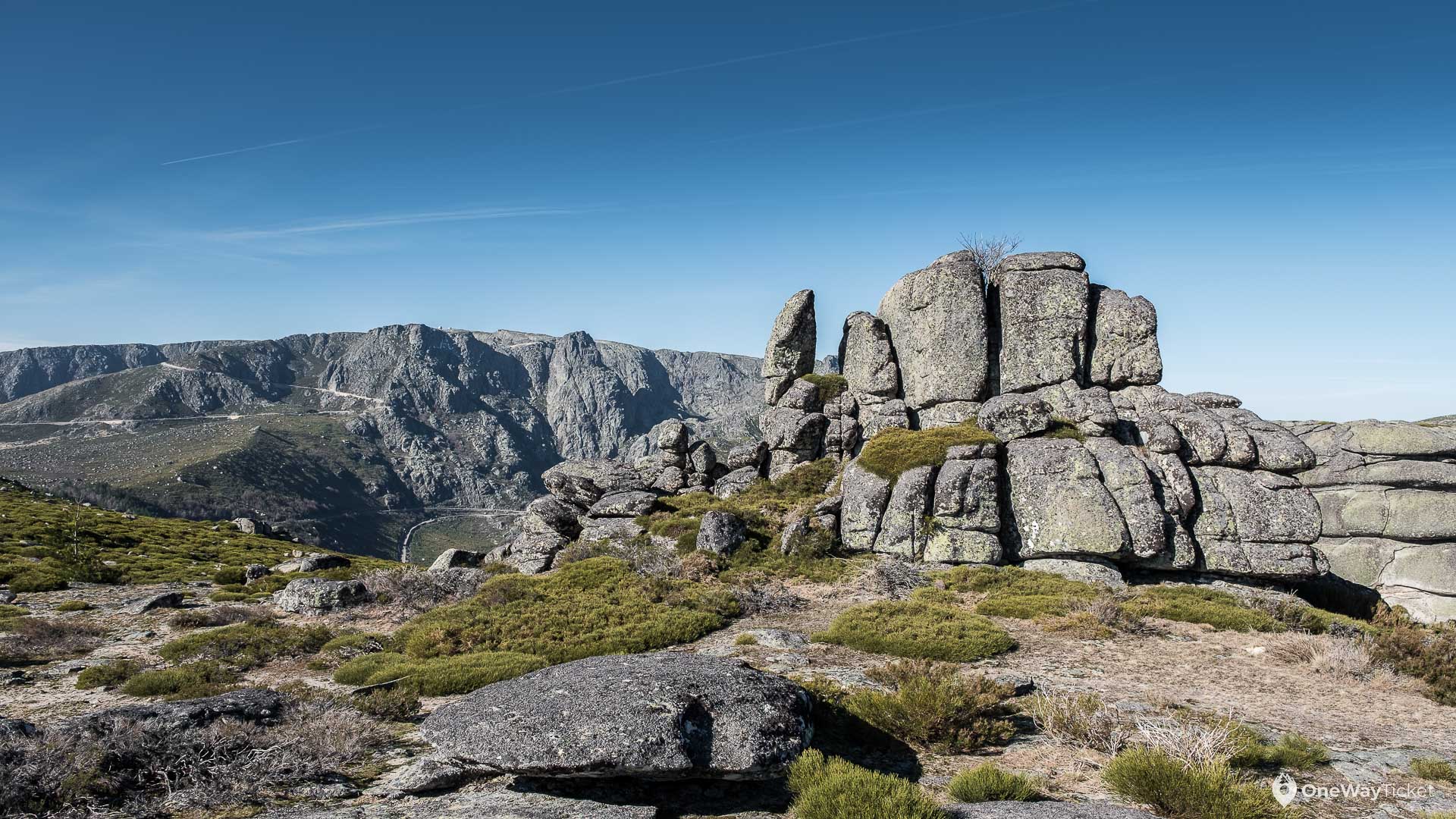
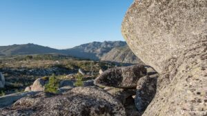
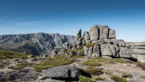
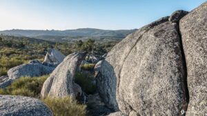
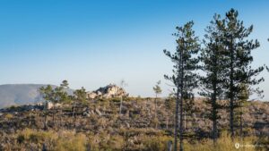
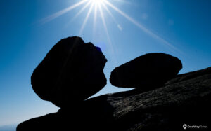
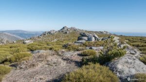
Start the hike from the same junction as you were starting the hike to Alto da Pedrice. The junction of roads comming from Manteigas and Covilha. Durng this 2,5 kilometers hike You will walk mostly on leveled path on the wast altiplano. Boulders everywhere that´s how You can describe the hike to Poios Brancos. Rounded ones, square domes, tall ones, shortone, straight ones and also shaped ones. All imaginable shapes of boulder are here, so it´s a heaven for every hobby climber of skilled boulderer.
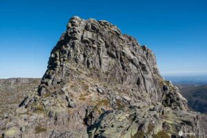
You will also have to become a climber as the summit of Poios Brancos is placed on a huge boulder. Find Yourself the most suitable route to the top as there are plenty with different lever of difficulty.


Leave a reply